Returning over the same territory seems much easier, it must help when you have a reasonable memory of where the route lies. You still need to discern where to wander on any particular section but the general direction is not so unknown.
The day started flawlessly, warm, few clouds, just great sitting at the campsite drinking a couple of cups of coffee and taking some of this experience in.
Then the long trudge up to the top of Blaikies Hill, good views to be had, particularly to the south where Gog stood out in all its ice cream cone shape, and even Magog was distinct. I won’t reel off the names of everything but up on Table Hill the views to the Catlins, Bluff Hill standing out, Rakeahua looking good. Everything a treat.
Then it was dropping down from the 700 m, the bush bashing easier, the overgrown track, well, not so bad, or seeming so long, by the time the dotterel workers’ section of the route was reached that seemed completely obvious despite the lack of DOC markers.
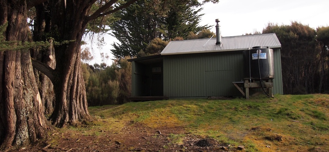
Down in the valley, joining the Southern Circuit, I stopped for a break and as these things happen two Canadians turned up from Doughboy, and cruised past for Rakeahua Hut only 25 minutes away. At the hut there was an almost full house, two kayakers, three DOC staff on their way out, the two Canadians, and later two more arrived, a total of seven to stay in this six bunker. The post-Christmas crowds have descended.
I had already whacked up the tent outside.
First humans in seven days and me already wanting to venture off again on my lonesome.
A guide to the night’s accommodation: Rakeahua Hut