Yeah, the Longest Day.
Sure felt like it as I plodded my way about 25 km, the last half in heavy rain.
Well, for much of the time.
Fortunately, once at Downie I went for water down to the main river, spotted a yearling hind myself, I applied myself to the woodpile, a fire lighter, and a found box of matches, and soon had quite a blaze.
For once I needed it.
Water had found its way to much of my gear. Probably when jumping into a slightly deep rivulet that I found was the actual river attempting to widen its banks further upstream.
So it turned out to be quite a day.
It didn’t start too flash. Overcast and gloomy. Same as the previous days.
For some reason failed to wake up until 6 am, and missed the weather forecast.
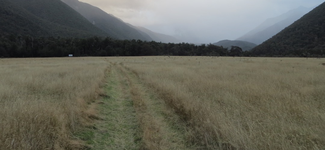
It was beautiful in the forest. Just enough traffic to give a great surface, and it was well cut. I really enjoyed that bit of the day’s walk.
Then, after about an hour, I popped out onto the stream bed that has been filled with rubble from other creeks. Still easy enough going downstream, even the up direction would be okay.
Back in the bush was on a four-wheel-drive track from the 60s.
I thought I’d do a cross-country to get onto a farm track, but ended up meeting one of the 15 workers on the farm, who suggested I do a loop back to get onto the official road. We chatted a while. They are shipping out 50,000 L of milk from the cows, despite only milking once a day. Due to the dairy numbers takes it 13 hours to get through them all.
After 20 minutes chat he hadn’t changed his mind so I was forced to backtrack, almost to Mataki Lodge where I’d been quite a few times in my school days.
Actually, from memory, I had six trips up there in my last year at school. I did a “leadership course” in the first week, and was keen to skive off school at the drop of a hat if any particular class was short. I’ve been up a few valleys, Nardoo, Burn Creek, Tiraumea, etc, at that time.
Being a boarding school there were always a few young men from farms who were keen for adventure, rather than sitting around in tents and not ranging far.
Just as I got out on the road, in a bizarre coincidence a car rolled up with a couple intent on Mole Tops. The bad news: the weather wasn’t supposed to be good today, but would be for the following two. Well, that was all the future weather they were interested in, being back tucked in their own beds after that.
The guy munched on some food while I chatted to his partner. You notice these things on Day 9.
Eventually I wound my way back to near quite near where I’d been, but this time on the official track.
The actual track up the Matakitaki valley is a quad bike route, but now getting overgrown. I guess they prefer to just blast up the valley at low tide in the river.
Getting across McKellar Stream was okay, but I wouldn’t want it any higher.
From there it was a surprise. DOC has just cut the track all the way to Bobs and East Matakitaki Huts.
But man, it seemed a long day with my wet pack weighing seriously on my shoulders.
But then, as stated, a decent fire was organised quickly enough as the rain continued to come down.
The East and West branch of the Matakitaki River has three-wire bridges so they wouldn’t be any issue to cross, but I have waited at Bobs Hut for a couple of days for Mt Maling Stream to go down. The hut is only 50 m away on the other side.
So if it’s better tomorrow there will be no rush out of the hut. I do know the signage is optimistic, more like six hours than four, so might try before lunch.
At the moment there seems little prospect of that.
But I’m sure cosy here, with the embers of the fire, and the rain still hammering in.
A guide to the night’s accommodation: Downie Hut