South Westland to Queenstown blog | January/February 2019
You come across new tracks in various ways.
The Haast Paringa Cattle Trail was mentioned in the film about the life of Sheila Natusch, “Some Kind of Sheila”. For her honeymoon she had biked down the West Coast with her new husband on single speed bikes long before the Haast Road was completed in 1965. Actually that trip had been featured in a Federated Mountain Club magazine article while the film was being made.
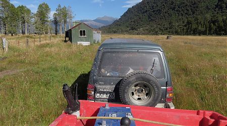
And on my trip down the West Coast on my way to the South Coast Track and Stewart Island/Rakiura I had zipped past the two entrances to the Haast-Paringa Cattle Track in my car on my way south to Stewart Island/Rakiura.
I contemplated the logistics.
Hint: get dropped off at the northern point because the southern exit is way better for hitching, being near a T intersection and a house, rather than in a random spot on a 100 km/h road.
And then moving immediately on to the South Westland coast, from Jackson Bay to the Hollyford Track, that had been on my mind ever since I scooted around the Hollyford/Pyke a few years ago. I heard an 86-year-old bloke had walked it, and a couple with a few horses, so maybe it wasn’t the horror show I’d been contemplating.
Well, this summer I was going to find out.
The main issue was that I’d been lulled into a very benign idea of the weather in the week or so I’d been back in Nelson, where it was about as fine a summer as I’d appreciate there.
Yeah, that may not continue, and I’ll be needing to be in my tent a bit.
So there is that.
Just as long as those tropical cyclones like the two that truncated my tramping and caused so much damage last summer stay away, well, until I can be in a position to head to the better weather to the east if required.
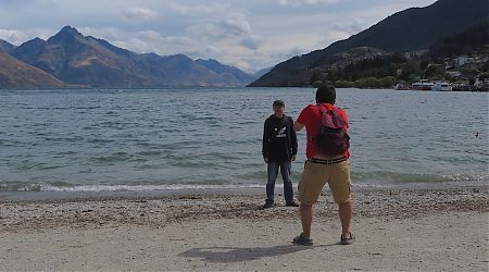
It turned out that despite a big 20 days coming down the coast that I only had a solitary night in civilisation in Te Anau. Long enough to scoff some fresh food and sort out another nine days worth.
Maybe I should have sat out some rain for another two nights, but I scurried on back to The Divide and tramped half the Greenstone and half the Caples Tracks before hitching over to the Rees-Dart Track for a quick circuit before making it to Queenstown.
By that stage, 29 days on the trot, 48 in all for the summer, it seemed sensible to head back to my own bed.
My body was telling my brain it was time for a break.
Here are the four maps from the trip. I hitchhiked/bused the short distances between the sections. Scroll on for each day’s blog.
Haast Paringa Cattle Trail | Days 1 to 5
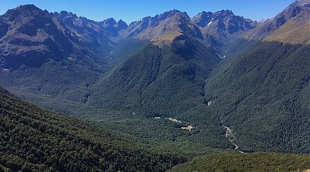
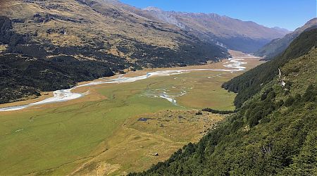
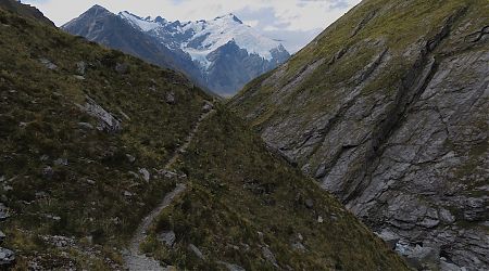
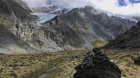
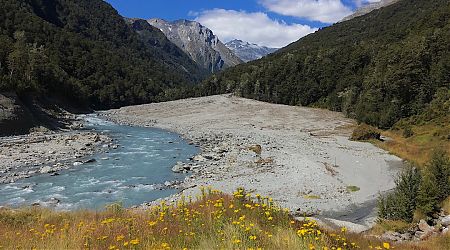
Cascade to the Hollyford | Days 5 to 20
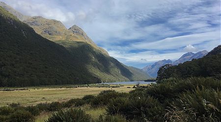
Greenstone/Steele Creek/Caples Tracks | Days 21 to 24
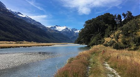
Rees Dart Track | Days 24 to 29

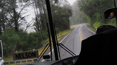
I knew today was going to be wet, and for periods in the Buller Gorge it sure was.
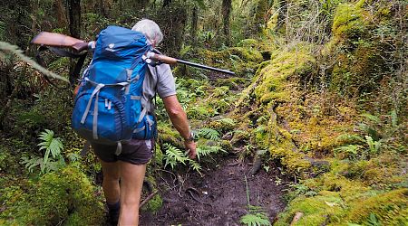
Every now and again he turned around for a chat, and the rifle that was attached to the top of his pack was now pointed directly at my head.
For once I was out in the hills without my pack as I made my way up to Middle Head Hut for a look.
Eventually rain set in and that helped to hasten movement, particularly as I became wetter, actually soaked. With the rain came a major temperature drop of about 8° C.
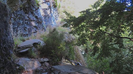
Chasm Creek stopped my flow of steps. From a distance it looks fairly perilous, with a 15 m vertical drop into stream that had to be negotiated on a wet, sloping, and potentially greasy rock face.
“Hang on,” he shouted. We then charged across a very bumpy, thumpy countryside.
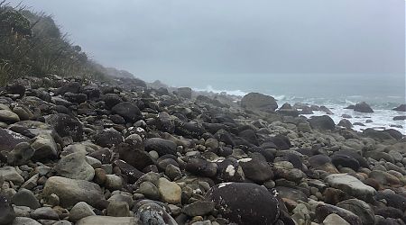
Unlike other coastal walks where I have jumped over bedrock, or large flat rocks, in this case, for the rest of the afternoon it was mostly head or cannonball-sized and shaped glacier wall moraine residue. On a slope.
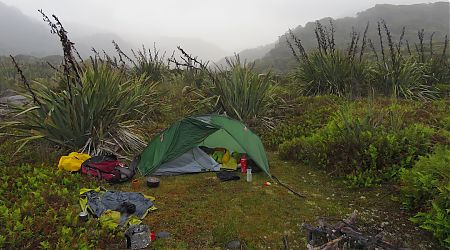
I can cope with the day in a tent, although I’m currently mixing it out with the sandflies. Trying not to breathe them in.
The comforts of a DOC hut are great after a few nights in a tent, and best of all, mostly sandfly proof.
Great to sit on a bench with my elbows on the table most of the day. Listening to the rain pelt in, and a huge wind.
Lots of book reading today. Ain’t that what you are supposed to do on a standard beachside holiday?
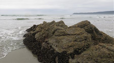
I joke with people that mussels were the real reason I returned to live in New Zealand, but I never say that it’s not a joke.
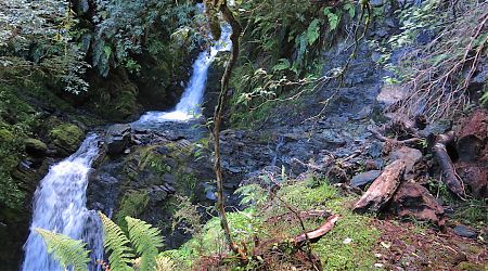
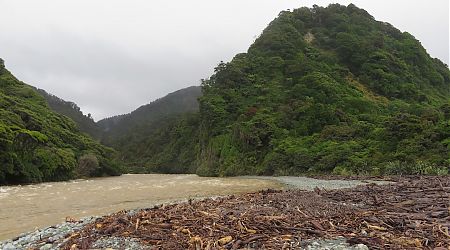
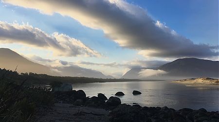
Watching ocean created rollers cruise up the river, or the river in flood a few days ago was the raw power of nature in action.
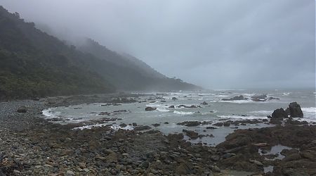
The story of my summer. Mostly gloom and wet feet.
The rock was mostly grippy and solid for my feet, except where it wasn’t.
Time feels like it passes slowly out here.
Still plenty of food in my pack, just becoming over-familiar after more than two weeks.
Why was I hurrying on again?
The water level was well over my shorts, but they needed washing, as did my undies. The bottom of my shirt was also rinsed, almost to nipple height.
You might think that with the removal of 18 days’ food from my pack weight that my pack is feeling lighter.
20 days? That’s ridiculous!!
Our jovial spirits were somewhat curtailed as this apparently was the most appropriate time to empty the septic tank. We were all severely gassed as I laced up my boots.
After three nights with plenty of others since McKerrow Island Hut it was time for a break from humanity.
It was a major surprise to see the times from whence I come shown as 8 to 10 hours, although I figured out that I’d taken nine hours if you include all my stops.
No expectations. No disappointments. Then anything good that happens is a bonus.
Still making a Moderate Effort. (Yeah, I’m not likely to ever traipse around here again, so I’d better make the most of it. One of my basic travel philosophies.)
Huge house-sized chunks of gneiss in the rocky gorge, with the track 50 m above most of the way. It’s clear that shrubbery has a short half life due to spring avalanches.
When tramping, a week can seem an extraordinarily long time, each day filled with new sights, experiences and people.
I thought it prudent to up the pace mid-afternoon, but soon just upended myself, and had a serious face plant encounter with a rock. My glasses scraped down my nose, cheek and my forehead was lacerated.
It might have seemed a great idea that I slipped a mattress on the living room floor last night, but that really needed to be revised at 4 05 am when the four Korean trampers emerged from their bedroom with their head torches on to cook a breakfast.
Yeah, this has been quite the expedition.